Vakinankaratra · MADAGASCAR
Ten places to discover in Antsirabe and its region Ten 3D stops in Antsirabe and its region: places, landscapes and sounds of Madagascar.
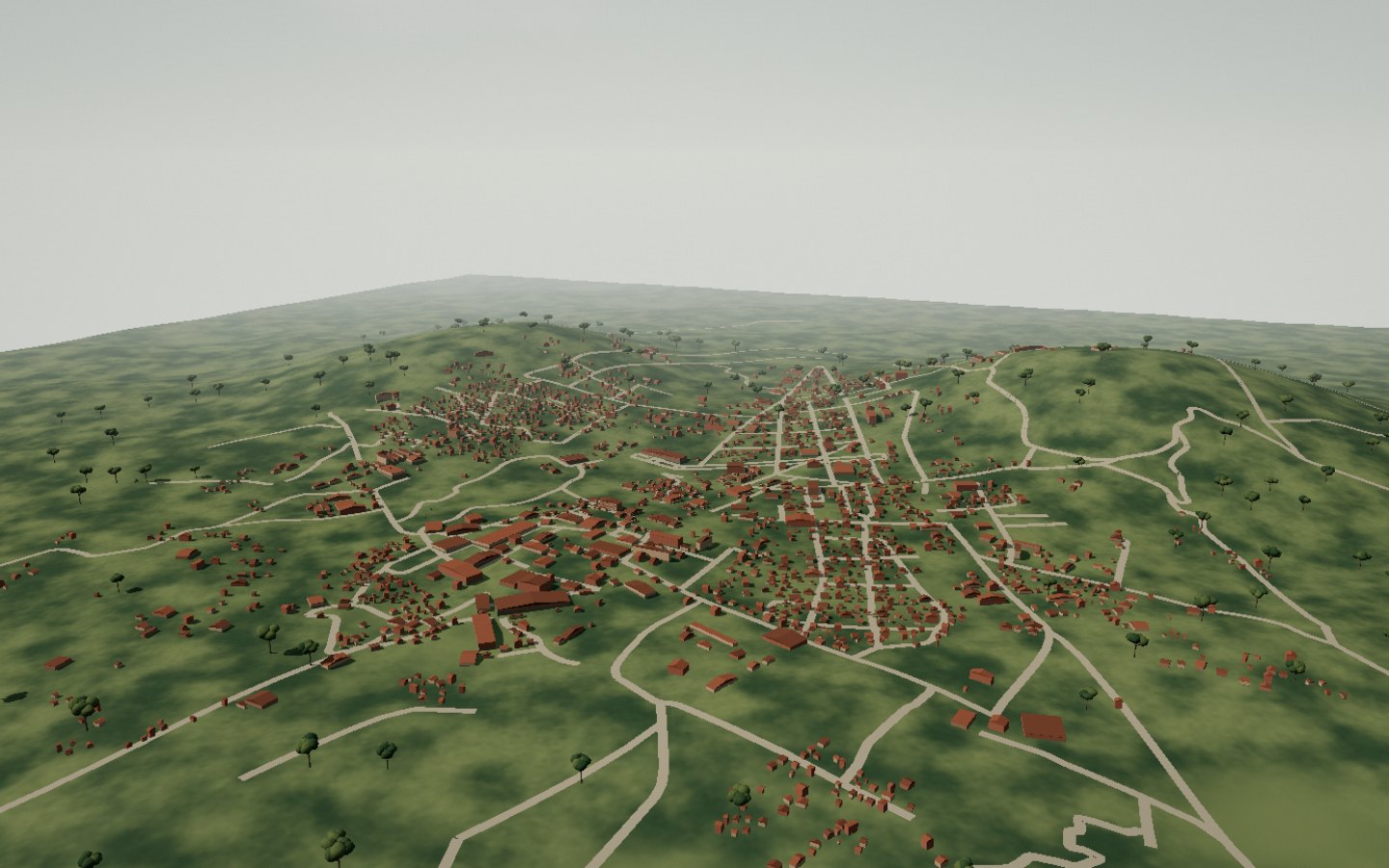
Start the immersive tour ↗ The highlands Antsirabe Station Hôtel des Thermes The avenue and monument Artisan workshops Lake Andraikiba Lake Tritriva Betafo Ibity massif Ankaratra massif The highlands Antsirabe belongs to the Vakinankaratra highlands. Its avenues and neighbourhoods sit among hills, farmland and villages: an inland landscape far from the ocean.
Find the neighbourhoods among hills and cultivated land.
Access Destination panorama Place source ↗ See this stop ↗
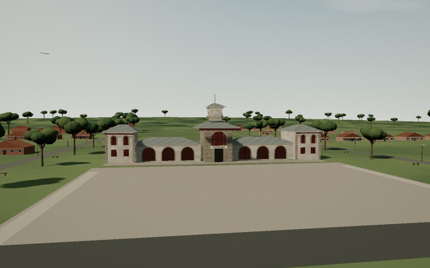
Antsirabe Station The station closes the vista of the central avenue. A symmetrical facade, central pavilion and tiled roofs recall Antsirabe’s railway history.
The arcades and clock close the vista of the avenue.
Access Check access locally Place source ↗ See this stop ↗
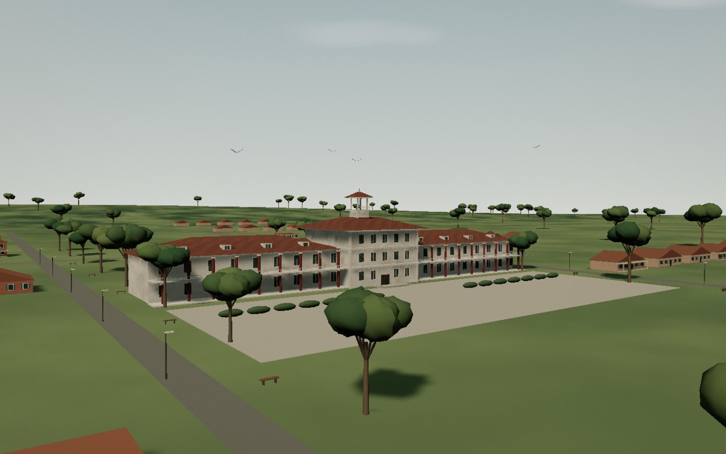
Hôtel des Thermes Hôtel des Thermes evokes Antsirabe’s spa tradition. Galleries, roofs and red facade accents are set behind an open garden.
The galleries and gardens frame the hotel’s long facade.
Access Check access locally Place source ↗ See this stop ↗
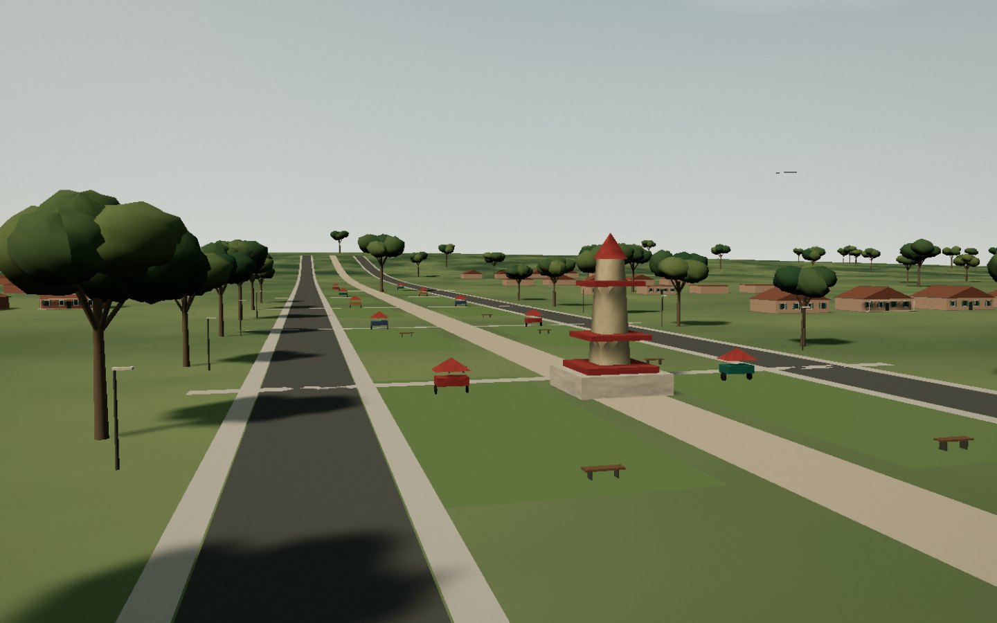
The avenue and monument The central avenue connects Antsirabe’s landmarks. Colourful rickshaws accompany rows of trees and the monument dedicated to Malagasy communities.
Follow the planted median, pavements and rickshaws.
Access Check access locally Place source ↗ See this stop ↗
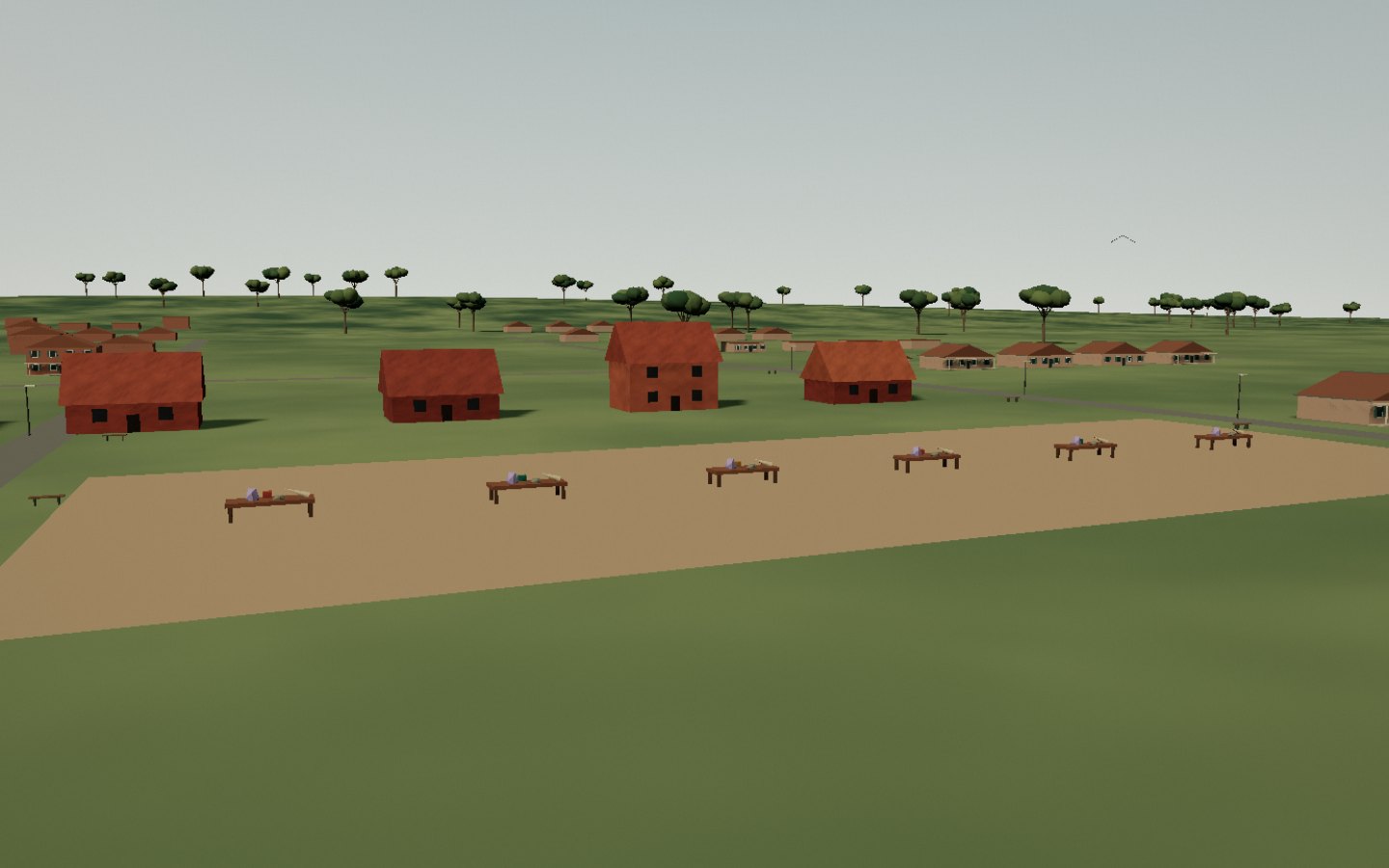
Artisan workshops Antsirabe workshops work with stones, horn and miniature objects. Workbenches bring tools and materials together in the highland neighbourhoods.
The workbenches reveal the materials and gestures of craft.
Access Check access locally Place source ↗ See this stop ↗
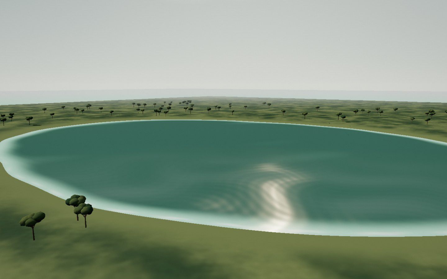
Lake Andraikiba West of town, Andraikiba opens into a broad lake bordered by gentle relief and farmland. The tour follows an open shore before gaining height.
Take time to follow the curve of the shores.
Access Arrange a regional excursion Place source ↗ See this stop ↗
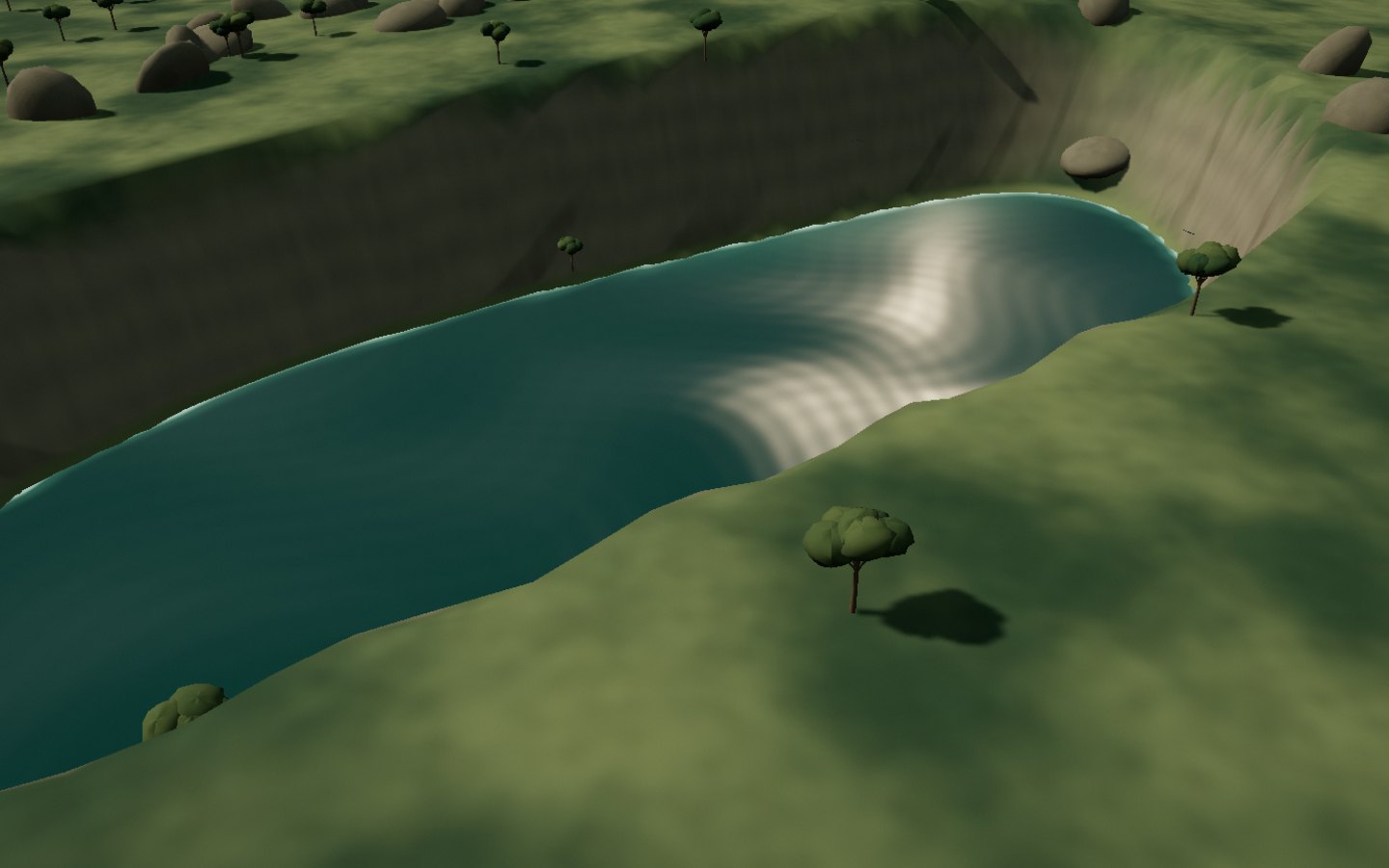
Lake Tritriva Lake Tritriva is distinguished by its enclosed basin and steep sides. Dark water lies below cliffs and trees: a very different shape from Andraikiba.
The lake lies beneath the walls surrounding it.
Access Check access locally Place source ↗ See this stop ↗
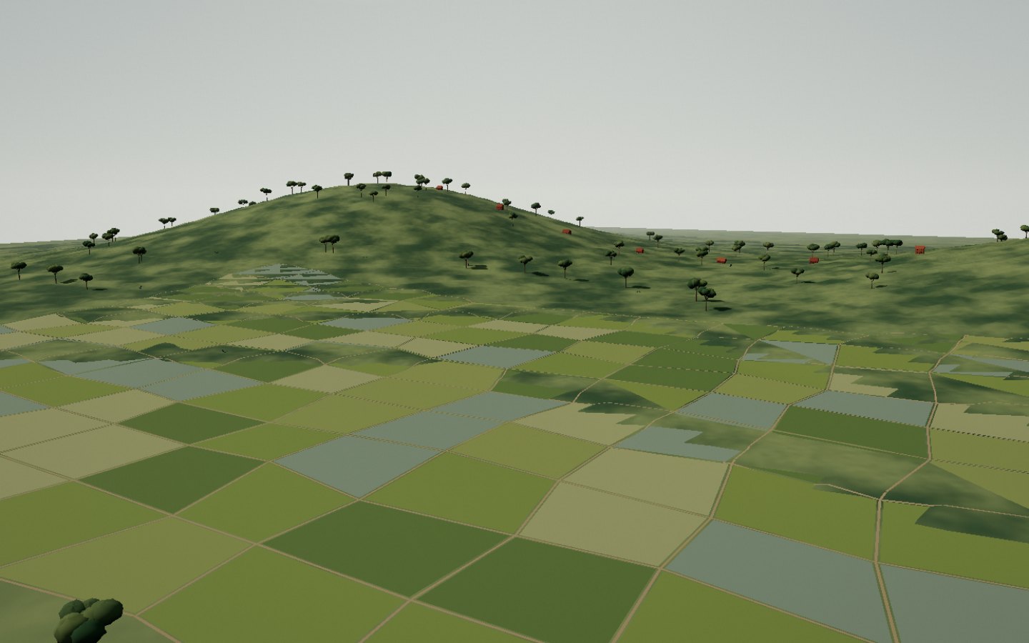
Betafo Towards Betafo, Vakinankaratra farmland combines rice paddies, embankments and brick houses. Water follows the fields beneath a horizon of hills.
Cultivated fields form a patchwork beneath the hills.
Access Arrange a regional excursion Place source ↗ See this stop ↗
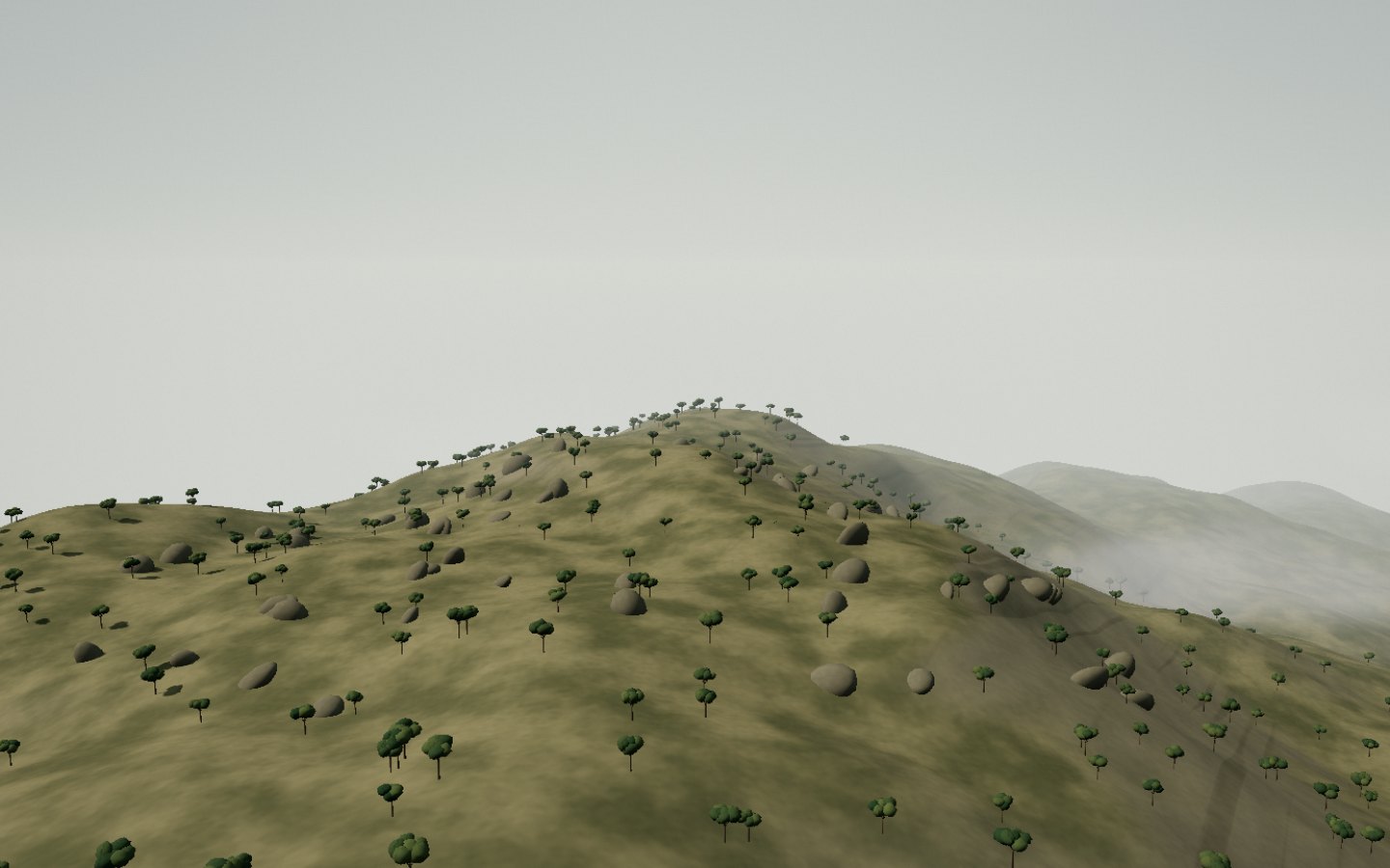
Ibity massif South of Antsirabe, Ibity rises above farmland. Grass slopes and rock outcrops form a more mineral landscape.
Look at the rocky outcrops and grassy slopes.
Access Arrange a regional excursion Place source ↗ See this stop ↗
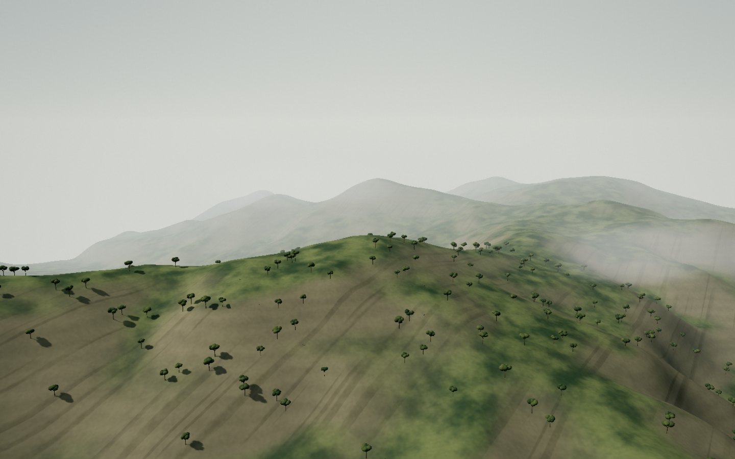
Ankaratra massif Ankaratra belongs to the volcanic relief of the highlands. Cultivated valleys give way to high slopes and ridgelines.
The view follows the ridges beyond cultivated valleys.
Access Check access locally Place source ↗ See this stop ↗